UN
79 The Street
£ 400,000
Description
We don't have a Description for this property.
- Bedrooms
- 4
- Bathrooms
- 0
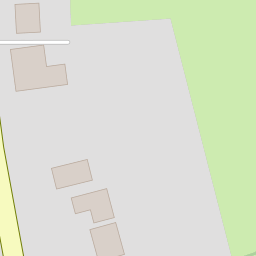
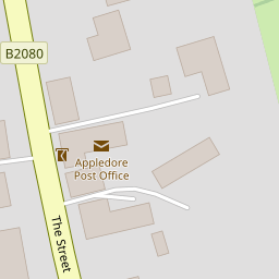


Leaflet © OpenStreetMap contributors
The heatmap indicates the level of crime in the area. The color of the heatmap indicates the crime severity and recency.
Metrics Year-on-Year
- Average area value
- 278,019.00 £Increased by 21.15 %
- Average area rental value
- 919.00 £/moDecreased by 8.01 %
- Est rental Yield
- 3.97 %Decreased by 23.95 %
- Crime Rate
- 33.00 %Unchanged by 0.00 %
from 229,480.00 £
from 999.00 £/mo
from 5.22 %
from 33.00 %
Nearby Schools
| Name | Type | Ofsted | Distance |
|---|---|---|---|
| Woodchurch Church Of England Primary School | Voluntary Controlled School | Good | 5.79 KM |
| Brookland Church Of England Primary School | Voluntary Controlled School | Good | 6.40 KM |
| Brenzett Church Of England Primary School | Academy Sponsor Led | Good | 7.93 KM |
| Hamstreet Primary Academy | Academy Converter | Good | 8.19 KM |
| St Michael'S Church Of England Primary School | Voluntary Controlled School | Good | 8.54 KM |
Images
Nearby Transport
| Name | NLC | TLC | Distance |
|---|---|---|---|
| Appledore (Kent) | 5003 | APD | 3.09 KM |
| Ham Street | 5037 | HMT | 8.33 KM |
Nearby Listings
| Address | Price | Type | Score | Distance |
|---|---|---|---|---|
| The Street, Appledore, Kent TN26 2AF | £ 425,000 | BUY | 6 / 10 | 0.03 KM |
| The Street, Appledore, TN26 | £ 625,000 | BUY | Unknown | 0.04 KM |
| The Street, Appledore | £ 330,000 | BUY | 7 / 10 | 0.11 KM |
| The Street, Appledore, Kent | £ 675,000 | BUY | 7 / 10 | 0.21 KM |
| The Street, Appledore | £ 640,000 | BUY | 8 / 10 | 0.22 KM |
Nearby Properties
| Address | Price | Distance |
|---|---|---|
| 75 The Street | £ 275,000 | 0.00 KM |
| 71 The Street | £ 290,000 | 0.00 KM |
| 55 The Street | £ 261,000 | 0.00 KM |
| Burswood | £ 585,000 | 0.00 KM |
| 57 The Street | £ 223,000 | 0.00 KM |